Влезте
Всички ресурси
Създаване на дизайн
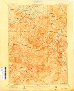
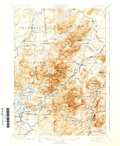
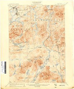
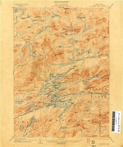
75 Свободни изкуства за Old Maps Of New York (state)
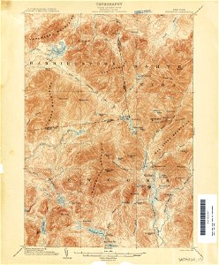
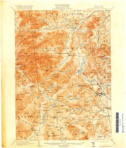
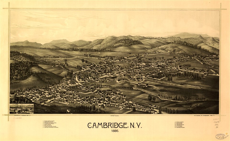
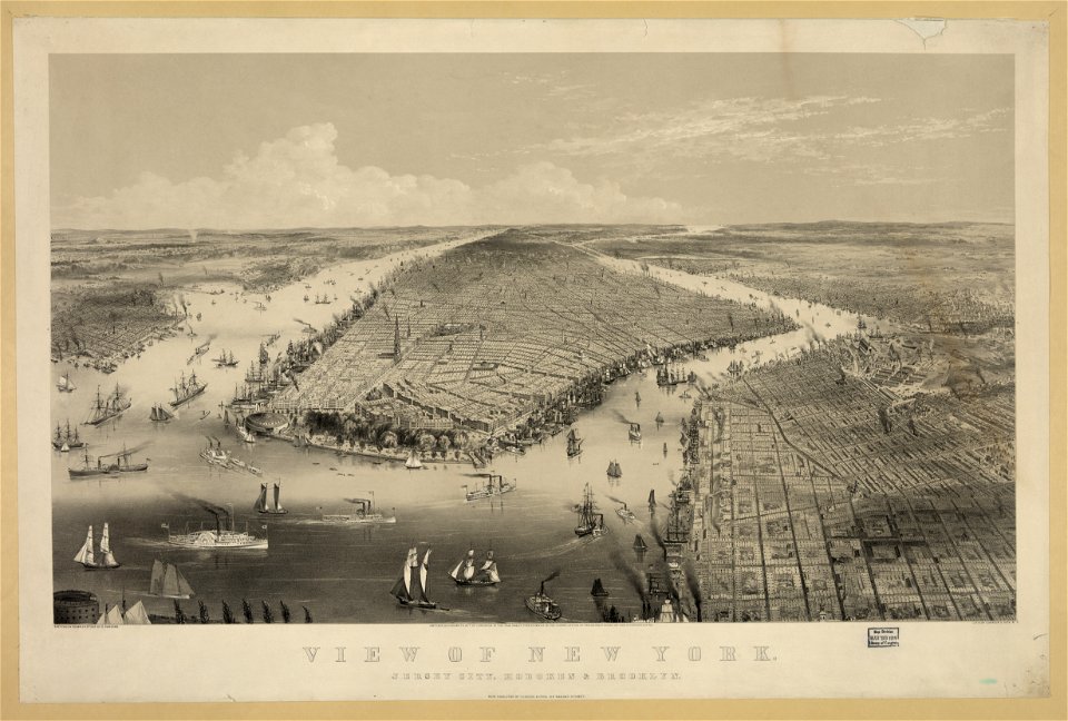
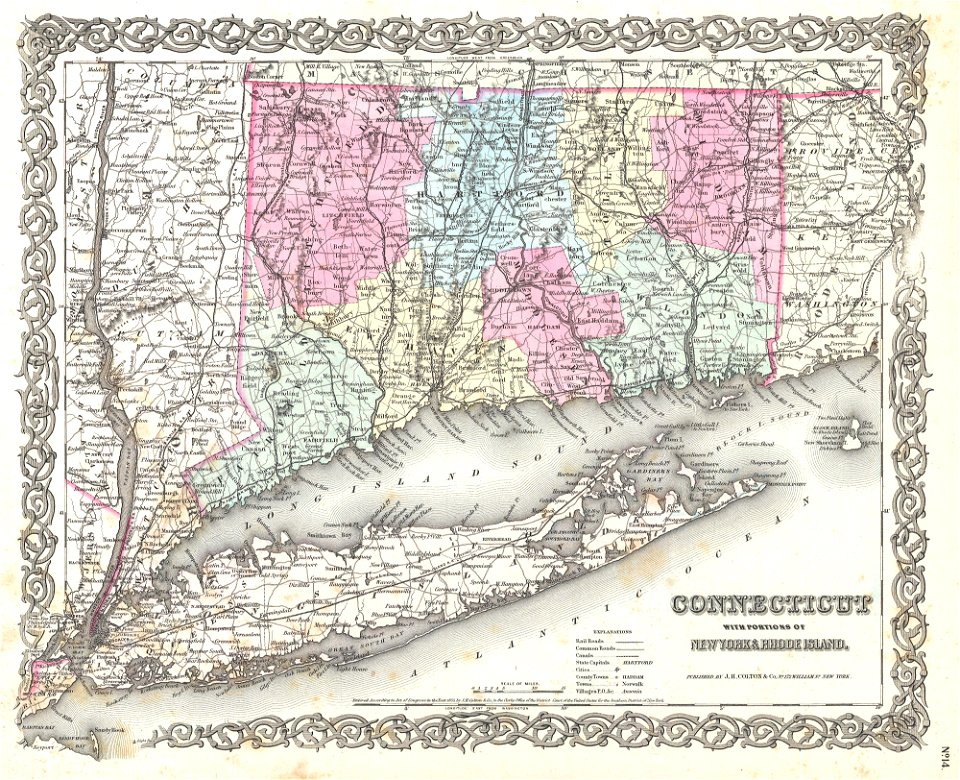
ню йорк
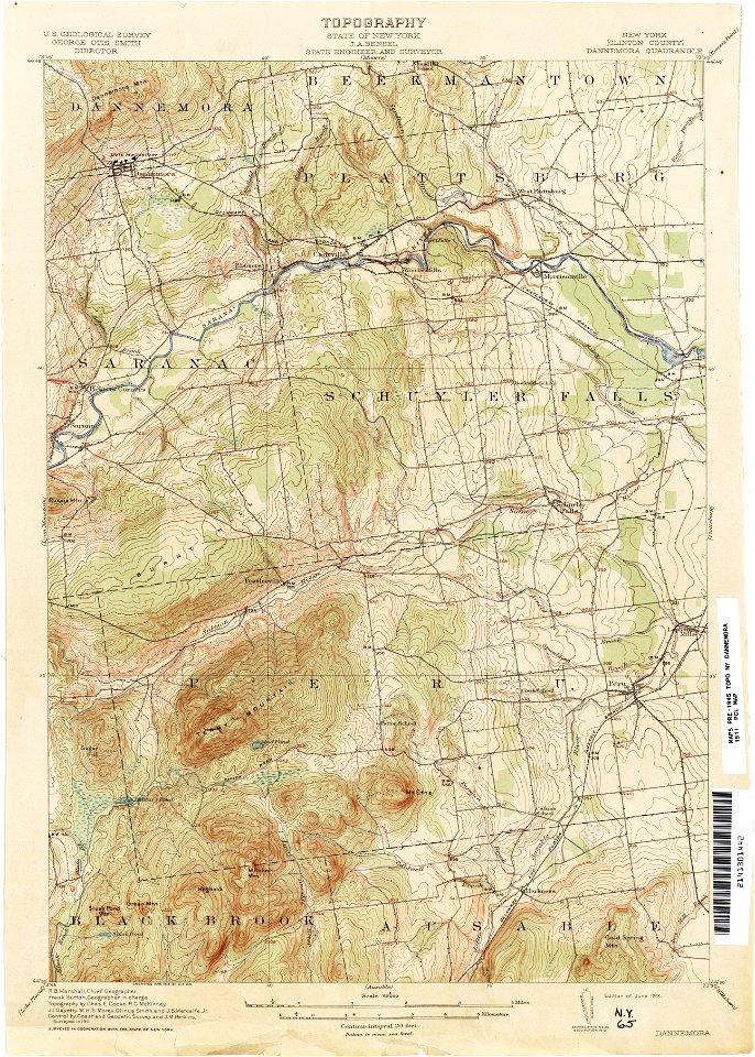
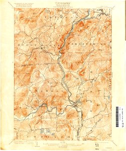
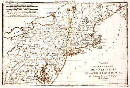
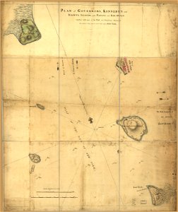
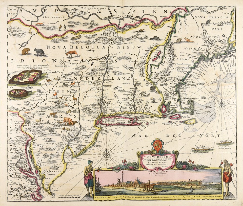
ню йорк
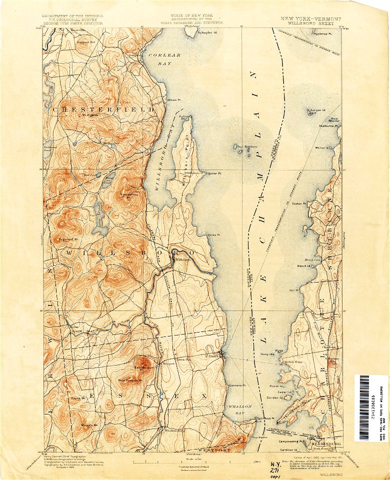
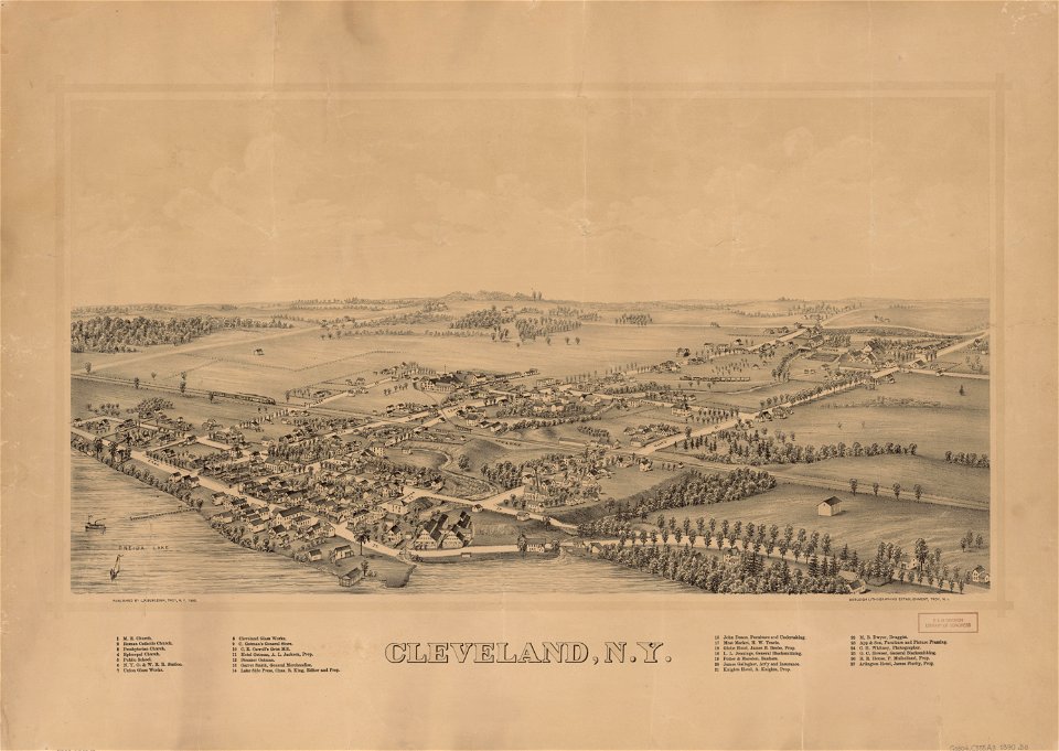
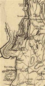
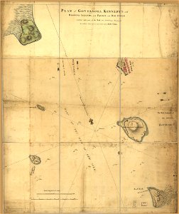
ню йорк
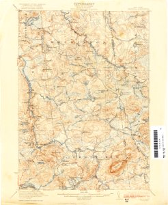
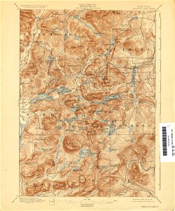
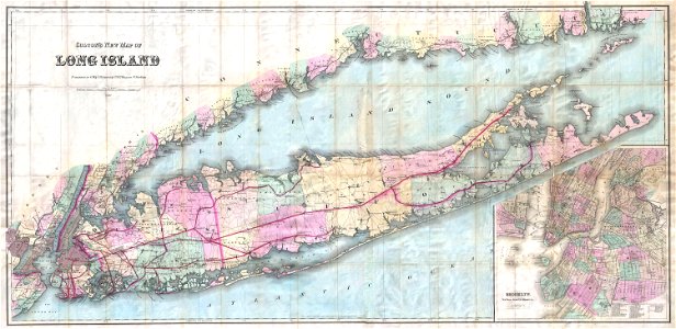
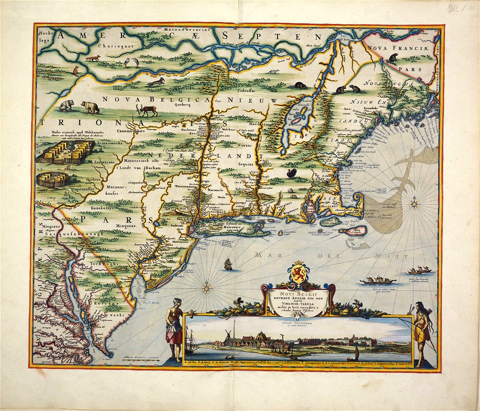
ню йорк
ню йорк
ню йорк
ню йорк
ню йорк
ню йорк
ню йорк
зелен
ню йорк
ню йорк
ню йорк
ню йорк
1 - 75 z celkového počtu 75
/ 1